Research and Surveying
Research and Surveying with Deeper Sonar
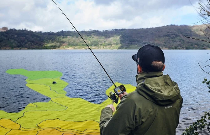
✓ Create bathymetric maps using built-in GPS or phone/tablet GPS with all maps and scanning history saved on your device and accessible on any computer.
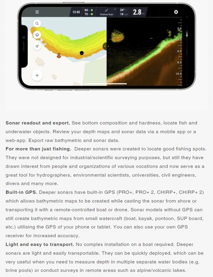
✓ Export raw depth map and sonar data and process it in any software of your choice.
✓ All charts free and downloadable, and all maps automatically transferred to the Fish Deeper™ web portal.
✓ Deeper sonars are wireless, very light, small and do not require a complex installation on a boat. They are easily transportable and can be quickly deployed.
✓ An inexpensive solution compared to industrial grade sonars. For those who require high precision, Deeper sonars act as a great tool for conducting preliminary pre-surveys before employing industrial grade sonars.
Powerful, Versatile Smart Sonars
Powerful, Versatile Smart Sonars
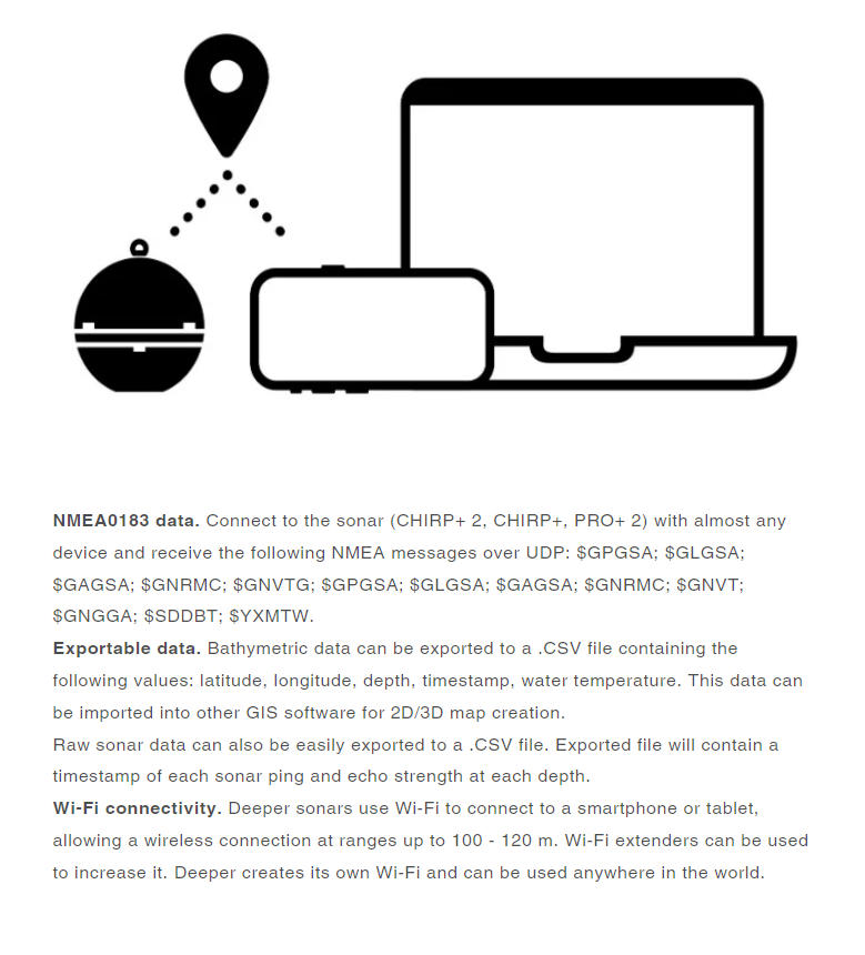
Wireless, Simple Solution for Bathymetric Data